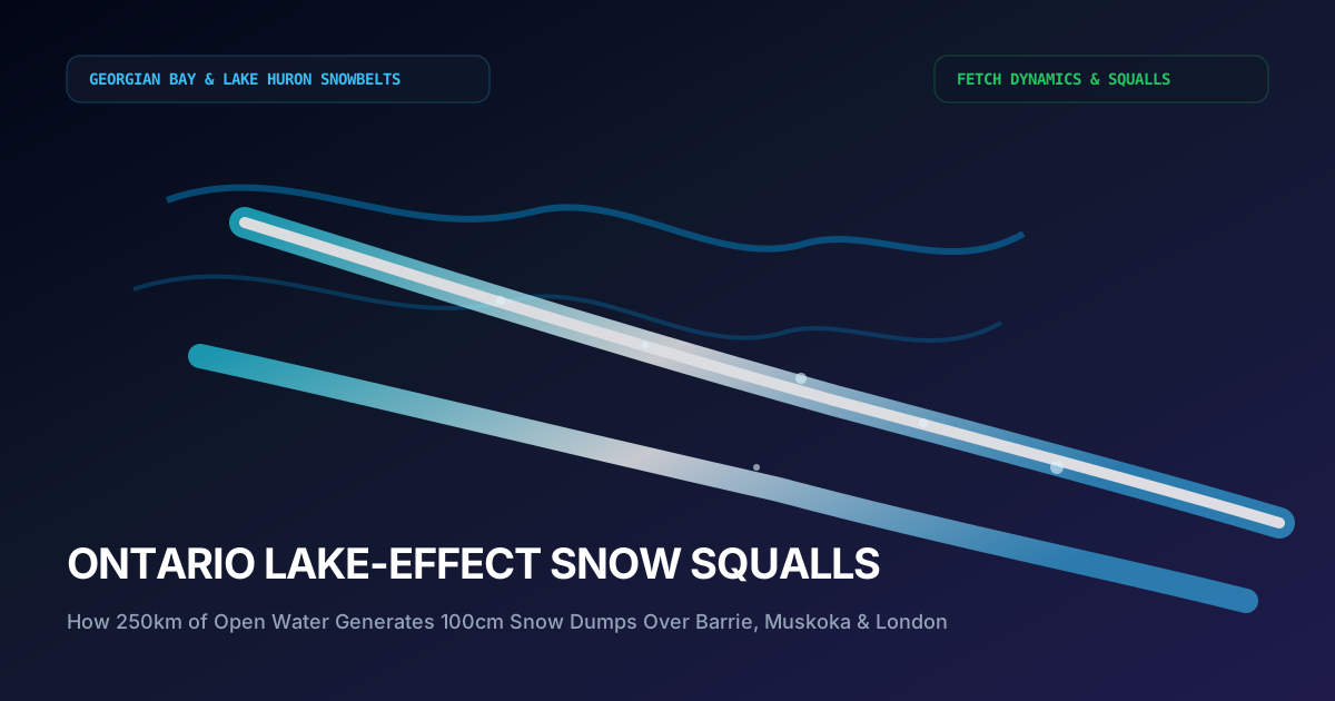
1. The Snowbelt Enigma: Blue Skies to Zero Visibility in 200 Meters
Drive north from Toronto on Highway 400 on a crisp January morning, and you may depart the downtown skyline under bright sunshine, dry asphalt, and calm breezes. Yet 50 minutes later, as you crest the gentle rolling moraines near Innisfil and Barrie, the world abruptly ceases to exist. Within the span of a single highway interchange, brilliant sunlight is extinguished by an opaque wall of blinding white snow, wind gusts exceed 75 km/h, and visibility drops from 10 kilometers to fewer than 5 meters.
Cars and transport trucks brake abruptly as the pavement transitions from dry tarmac to hard-packed polished ice. Overhead, lightning illuminates the swirling snow, accompanied by the eerie rumble of thundersnow. You have entered the heart of an Ontario lake-effect snow squall band—one of the most localized, volatile, and ferocious winter storm mechanisms found anywhere on planet Earth.
While a synoptic low-pressure system (such as a Colorado Low or Nor’easter) spreads steady snow over hundreds of thousands of square kilometers, lake-effect snow operates on a microscopic, knife-edge scale. A single snow squall band may measure only 10 to 20 kilometers in width, but it can stretch inland for 150 kilometers, dropping 60 to 100 centimeters of powder over Barrie, Collingwood, or Owen Sound, while communities just 15 kilometers to the south enjoy unhindered sunshine.
In this comprehensive scientific study, we dissect the thermodynamic principles governing lake-effect snow generation, explain the critical 13°C delta-T criterion, examine the role of Georgian Bay’s deep bathymetry, and review the lifesaving protocols required when driving Ontario’s infamous snowbelt highways.
2. The Four Cardinal Ingredients of Lake-Effect Snow
Lake-effect snow does not occur by chance; it is governed by four strict thermodynamic and kinematic prerequisites. If any single one of these variables fails to materialize, the snow engine cannot ignite.
1. The Delta-T Criterion (Thermal Instability): The absolute cornerstone of lake-effect snow is the temperature difference between the open water surface of the Great Lakes and the air temperature at the 850 hPa pressure level (approximately 1,500 meters altitude). As a universal rule of thumb, the 850 hPa temperature must be at least 13°C colder than the lake surface water.
2. Long Unfrozen Fetch: The term "fetch" denotes the continuous distance that cold Arctic wind travels uninterrupted over warm, open water. To accumulate sufficient sensible heat and water vapor, the fetch must typically exceed 80 to 100 kilometers.
3. Low-Level Directional Wind Shear: In order for a narrow, intense snow streamer to organize and persist over the same geographical corridor for hours on end, the wind direction between the surface and the 700 hPa level must remain highly uniform.
4. Frictional Convergence Along the Shoreline: As rapid 50 km/h winds leave the relatively frictionless surface of Lake Huron or Georgian Bay and strike the rugged landmass of the Bruce Peninsula, the sudden increase in surface friction causes low-level convergence and explosive upward vertical motion.

3. Single Bands vs. Multi-Bands: The King City Radar Perspective
Environment Canada meteorologists monitoring the S-band Doppler radar at King City (Station CWKR) classify lake-effect events into two primary morphological architectures: Multi-Band and Single-Band squalls.
Multi-band events typically form when wind trajectories cross the shorter width of Lake Huron (e.g., west-to-east winds with a 90 km fetch). Under this regime, the sky organizes into 5 to 10 parallel rows of cumulus rolls resembling cloud streets. Snowfall is distributed broadly across Huron, Bruce, and Perth counties, producing widespread 15 to 25 cm accumulations without paralyzing any single municipality.
Single-band events, by contrast, are the true monsters of Southern Ontario winter weather. When wind aligns perfectly along the longest axis of Georgian Bay (northwest-to-southeast at 310° to 330° azimuth), the entire moisture flux concentrates into a solitary, razor-sharp super-band. This single conveyor belt of moisture locks over the Barrie, Orillia, and Highway 400 corridor, dumping snowfall at rates of 8 to 12 centimeters per hour.
4. Highway 400 & The Snowbelt Driving Survival Protocol
Nowhere in Canada are the consequences of lake-effect snow squalls more catastrophic for ground transportation than on Ontario’s Highway 400, Highway 11, and Highway 21 corridors. When a super-band locks into place, multi-vehicle pileups involving 40 to 100 vehicles become a regular hazard.
The lethal danger of snow squalls stems from the instantaneous loss of contrast. When driving at 100 km/h on dry asphalt, entering a snow squall causes immediate whiteout disorientation. Drivers cannot distinguish the road shoulder from the ditch, brake lights ahead disappear, and rear-end collisions cascade in seconds.
MTO Ontario 511 telemetry and ECCC Snow Squall Warnings provide crucial lead time. When a warning is issued for Simcoe, Grey-Bruce, or Muskoka, commercial and private motorists must adjust speeds immediately, activate emergency four-way hazard flashers, and never stop abruptly in live travel lanes.
Never slam on brakes upon entering a whiteout wall on Highway 400. Decelerate smoothly, maintain 10 vehicle lengths of following distance, turn on low-beam headlights and hazard lights, and exit the highway at the next commercial service centre.
5. Lake Bathymetry and Winter Freeze-Up Projections
The seasonal lifespan of Ontario lake-effect snow is strictly dictated by the ice cover kinetics of the Great Lakes. Because Georgian Bay and Lake Huron possess maximum water depths exceeding 170 and 229 meters respectively, their immense thermal inertia delays freezing until late January or February.
However, once Lake Huron ice cover exceeds 70%, the sensible heat flux to the atmosphere is severed, shutting down the lake-effect snow machine regardless of how cold the Arctic air aloft becomes. In mild winters with minimal ice cover, lake-effect squalls can persist well into March and early April.
Real-time snowband tracking directly in the Georgian Bay snowbelt epicenter.
Lake Huron squall streamer monitoring along the Highway 401 and 402 corridors.
Live road surface sensors and webcam snapshots during sudden whiteouts.
Decode ceiling, runway visual range, and convective turbulence.
Community Discussion & Field Reports
Share your on-the-ground observations, highway conditions, or questions with Canadian meteorologists.
The explanation of the -40°C wind chill boundary layer stripped by 50 km/h winds is spot on. We mandate emergency diesel fuel conditioners across all our trucks in Alberta whenever the ECCC polar vortex bulletin triggers.
Fascinating breakdown of the 1998 Ice Storm inversion sandwich compared to modern stratospheric warming lobes. The data tables on municipal frost depth are invaluable for city planning.
Having driven Highway 400 during single-band Georgian Bay lake squalls, the 13°C delta-T criterion explains why sunny skies turn into zero visibility in 200 meters. Excellent scientific journalism.