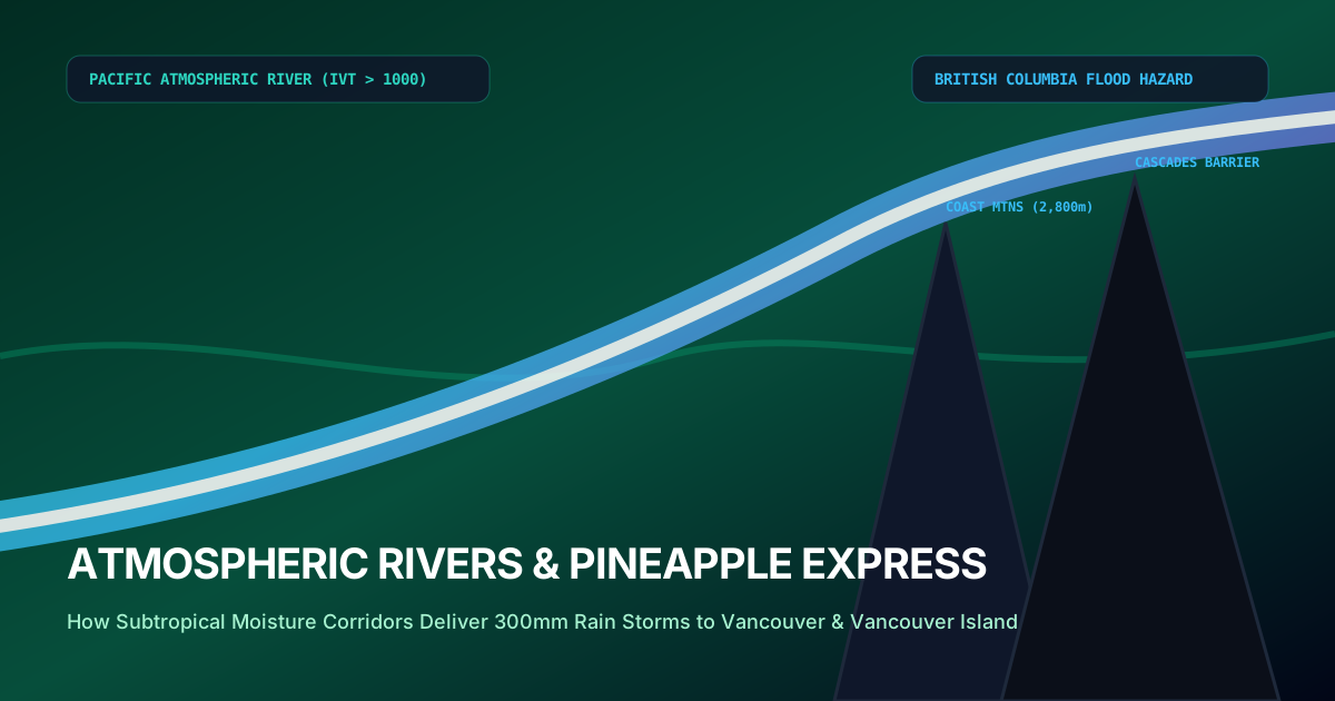
1. The Rivers in the Sky: Unlocking Subtropical Moisture Plumes
High above the Pacific Ocean, stretching from the lush tropical waters of the Hawaiian archipelago across thousands of kilometers of open sea directly into the rugged fjords of British Columbia, flows an invisible river. It carries no banks, possesses no riverbed, and is composed entirely of vaporized water molecules traveling at 80 km/h within the warm conveyor belt of deep low-pressure systems.
Yet the volume of water moving through this aerial corridor dwarfs the largest rivers on Earth. At peak intensity, a major Pacific atmospheric river transports a volumetric water vapor flux equivalent to 10 to 15 times the average discharge of the Mississippi River, or more than double the entire flow of the Amazon River. When this immense moisture plume slams into the towering topography of Vancouver Island and the British Columbia Coast Mountains, the resulting orographic condensation triggers torrential rainfall of catastrophic proportions.
In November 2021, an unprecedented Category 5 atmospheric river battered Southwestern British Columbia, dropping over 300 millimeters of rain in under 48 hours onto snow-covered alpine slopes. The resulting flash flooding washed out every major highway connection between the Port of Vancouver and the rest of Canada, completely submerged the agricultural Sumas Prairie, and caused billions of dollars in infrastructure destruction.
2. The Integrated Vapor Transport (IVT) Scale
In atmospheric science, an atmospheric river is quantified using the Integrated Vapor Transport (IVT) metric, measured in kilograms of water vapor transported per meter per second (kg·m⁻¹·s⁻¹). Developed by Scripps Institution of Oceanography in partnership with Environment Canada and NOAA, the Atmospheric River Scale categorizes events from AR-1 (Weak/Beneficial) to AR-5 (Exceptional/Hazardous).
During an AR-5 event, IVT values exceed 1,250 kg·m⁻¹·s⁻¹ and persist for more than 48 continuous hours over the same coastal watershed. The freezing level often spikes from 500 meters to over 2,800 meters, meaning that liquid tropical rain falls on the highest peaks of the Coast Mountains, rapidly melting early-season alpine snow and compounding river runoff exponentially.
3. Orographic Precipitation Dynamics & The Rain-on-Snow Multiplier
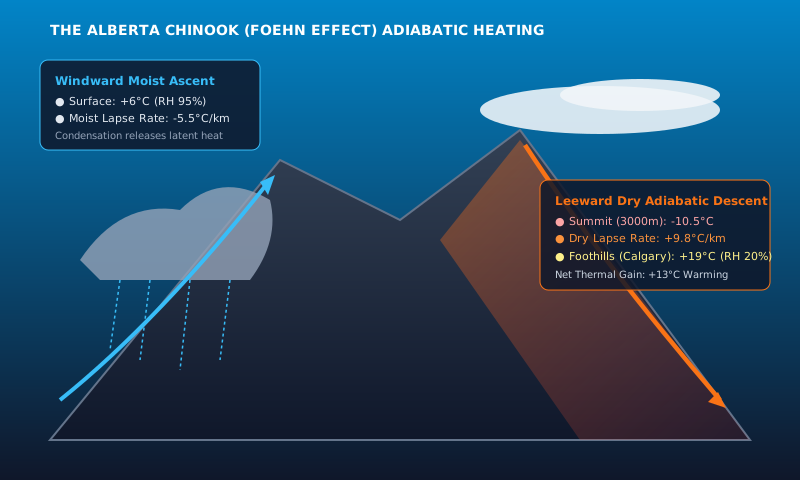
The catastrophic hazard of atmospheric rivers in British Columbia is driven by the physics of orographic lifting. When warm, saturated Pacific air is forced upward by the Coast Mountains and North Shore Mountains, it cools at the moist adiabatic rate, condensing vast volumes of water vapor into torrential precipitation.
When this deluge coincides with an existing alpine snowpack, the "rain-on-snow" thermal transfer causes rapid snowmelt. The latent heat released by condensing water vapor accelerates snow melting faster than solar radiation could ever achieve, turning high mountain tributaries into torrents that overwhelm culverts, rip out railway tracks, and trigger debris flows.
4. Civil Engineering and Highway Protection along Highway 1 and Coquihalla
Following the catastrophic November 2021 atmospheric river atmospheric event, the British Columbia Ministry of Transportation and Infrastructure (BC MoTI) initiated an engineering overhaul of highway corridors through the Cascade and Coast Mountains.
Bridges along Highway 5 (Coquihalla) were redesigned with deep pilings anchored directly into bedrock, larger waterway openings capable of withstanding 1-in-200-year flood volumes, and armored rip-rap berms to withstand dynamic hydraulic debris impacts.
Track ongoing Pacific rain bands and freezing levels across Greater Vancouver.
Road surface conditions and washouts along BC mountain transportation corridors.
Simulate high tide surges, wave heights, and oceanographic current velocity.
Analyze real-time summit temperatures and severe weather hazards.
Community Discussion & Field Reports
Share your on-the-ground observations, highway conditions, or questions with Canadian meteorologists.
The explanation of the -40°C wind chill boundary layer stripped by 50 km/h winds is spot on. We mandate emergency diesel fuel conditioners across all our trucks in Alberta whenever the ECCC polar vortex bulletin triggers.
Fascinating breakdown of the 1998 Ice Storm inversion sandwich compared to modern stratospheric warming lobes. The data tables on municipal frost depth are invaluable for city planning.
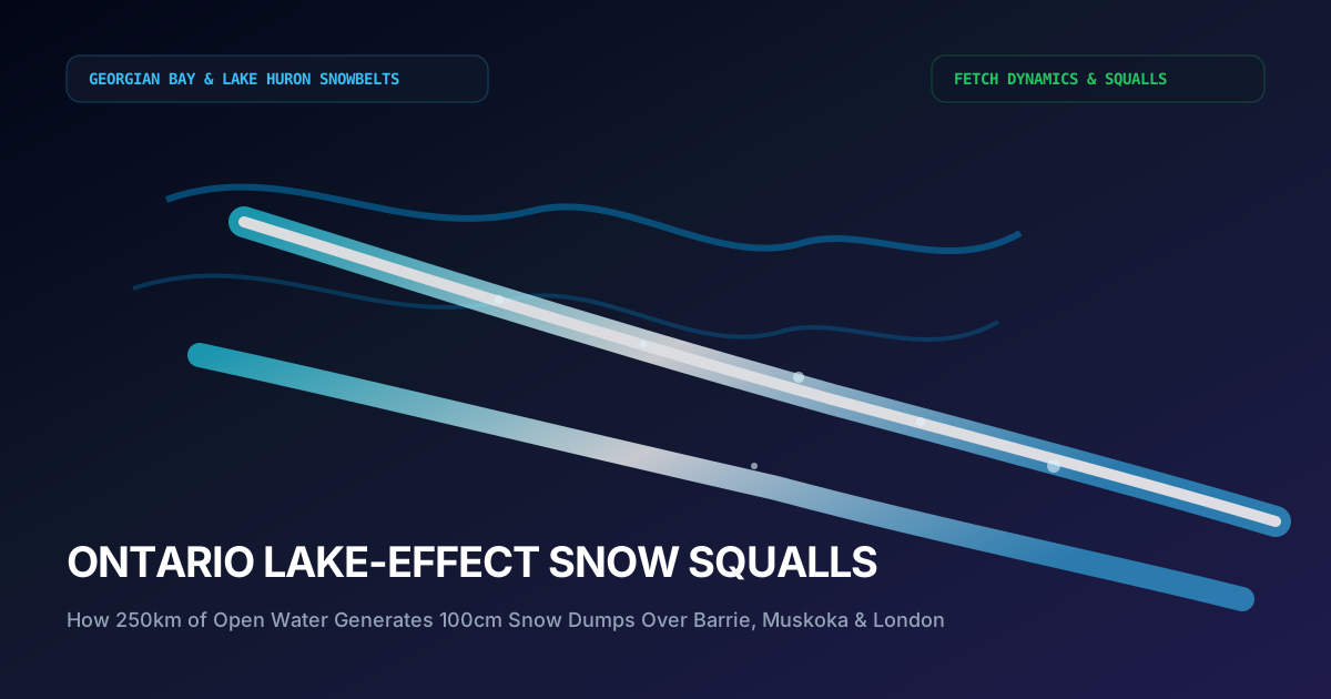
Having driven Highway 400 during single-band Georgian Bay lake squalls, the 13°C delta-T criterion explains why sunny skies turn into zero visibility in 200 meters. Excellent scientific journalism.